SpatioMap
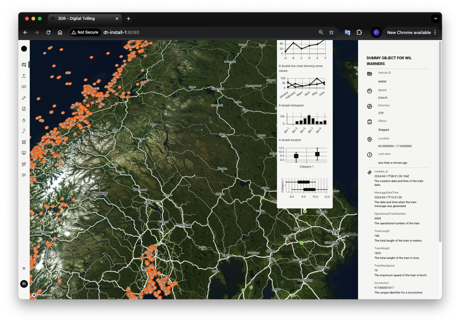
SpatioMap gives users a live, interactive view of what's happening on the ground — whether that's tracking assets, monitoring operations, or keeping tabs on key locations. It's built to handle complex, geospatial data in a way that's both clear and responsive. With support for multiple layers, real-time updates, and detailed context around moving objects or points of interest, the map helps users make fast, informed decisions based on what's happening right now.
Key features
- Geo‑spatial visualization: scalable from high‑level to high‑detail
- Multi‑layer map: toggle layers for different data sources or domains
- Points of interest (POI): show relevant static or dynamic locations
- Moving objects: real‑time tracking of assets or entities
- Expandable elements: click POIs or moving objects to open info‑boxes with metadata and context
- Real‑time updates: low‑latency streaming for smooth, live tracking
- Geo‑fencing: define zones for alerts, monitoring, or filtering
- GeoJSON compatible: import and export map layers and objects
- Mini‑dashboards: embed small charts on details panes for quick insight